
Novomyl’s’ke horodyshche (Novomylsk Hillfort)
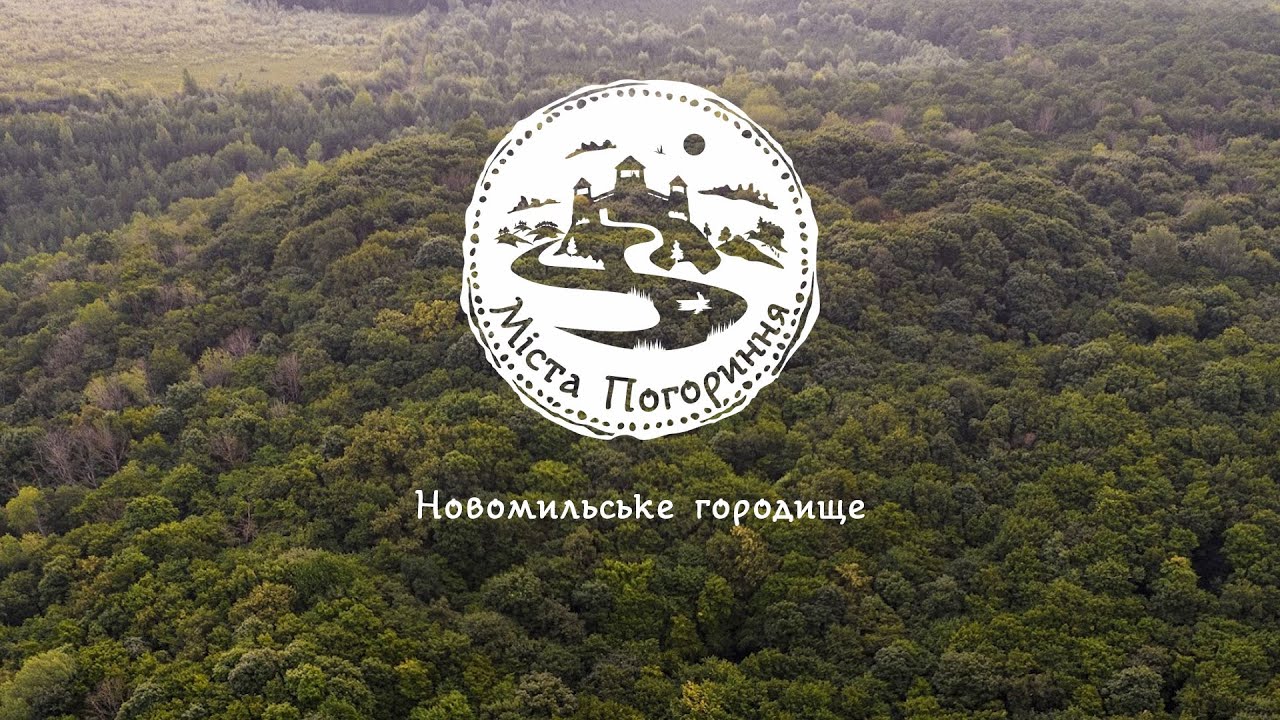
A hillfort located on the right bank of the Ustia River in the “Divocha Hora” Isolated Terrain, on the western edge of the hill, now covered with forest, is the remains of the Mylsk settlement mentioned in the chronicles. The area on which the hillfort is located rises above the river floodplain by 65-70 m.


Archaeological Monument of National Importance
Rivne Oblast, Zdolbuniv Territorial Community (Hromada), Novomylsk Village.
50.50751, 26.31184
19,5 km
The hillfort is located on the north-eastern outskirts of the Novomylsk village, in Zdolbuniv Territorial Community (Hromada). The corresponding settlement is mentioned due to the events of 1151: Vladimir II Yaroslavich, the prince of Halych, on his way to help Yuri I Vladimirovich, commonly known as Yuri Dolgorukiy or the Long Arm, met here with Andrei I Yuryevich, commonly known under his sobriquet Andrei the Pious, who ruled in Peresopnytsia at that time.
Novomylsk Hillfort had been known since the end of the 19th century, in the 1920s and 1930s it was examined by Polish archaeologists, in 1952 it was researched by Yu. Zakharuk, whereas B. Pryshchepa and O. Voitiuk have investigated the site repeatedly.
The cape-shaped hillfort site has dimensions of 160×130 m (the total area is 1.5 ha), the perimeter is protected by a rampart, which is 2-4 m high, on the eastern field-facing side, and on the other sides the height of the rampart does not exceed 1.0-1.5 m from the site level. According to the design, the site is close to the settlements of the “Volhynia” type, specified and described by P. Rappoport. Its north-western and south-western sides are straight, converging orthogonally, and the other two are arched in shape. On the field-facing rampart (the one facing the enemy) the cape site is protected by two moats, between which there is a rampart up to 4 m high. On the other sides the defensive moat continues as a terrace 8-10 m wide. The slopes of the cape site above the terrace form an escarpment, they are steep, 8-10 m high. On the southern and western sides in some areas the site is protected by additional ramparts.
The researchers found the traces of the ancient entrance from the south-western side of the cape site. From the southern corner northwestward there is a road on the outer slope of the cape fortification that leads to the passage toward the site, where there is a gap in the rampart. There are two cavities on the cape site, which are rounded in plain view and funnel-shaped in the section. The first of them, slightly offset from the site centre to the north, has a diameter of about 10-12 m, a depth of 5 m, and the second cavity or deepening, which is 15 m eastward of the previous one, has a diameter of 7-8 m and a depth of 4 m. There is a high probability that these are the traces of ancient wells or water tanks.
On the field-facing side (the one facing the enemy), three additional lines of defence, consisting of earthen ramparts and moats, protect the cape site and a part of the hill southward of it. These defensive lines cross the hill from the northern to the southern edges and have a length of about 300-350 m. The inner line of defence consists of a rampart up to 2 m high and a 1.5 m deep moat. The middle line of defence consists of two parallel ramparts up to 1 m high with a moat between them. The outer line of defence near the northern edge of the hill rises at a distance of about 100 m from the inner line of defence, and near the southern edge where two lines of defence converge, the distance between them is only 25-30 m. The outer line of defence consists of two parallel ramparts and two moats in front of them. The inner rampart is up to 3 m high, and the moat in front of it is up to 2 m deep. The outer rampart is noticeably lower, up to 2 m high, whereas the moat in front of it is up to 1.5 m deep. Outside of the cape-shaped site the archaeologists haven’t found any cultural layers of the Kyivan (Kievan) Rus era on territory of the hill protected by the ramparts, they have found only materials belonging to the Copper Age.
The total area of the hillfort is 6 hectares.
The prospecting pits dug on the cape site testified that the cultural layer is about 1 m thick and contains materials from pre-Mongol times. The finds predominantly include the fragments of pots of the 11th, as well as 12th – mid-13th century. The collection includes iron knives, stirrups, fragments of axes, grindstones. The cultural layer also has copper-age materials.
There is a burial mound near the southern edge of the outer defensive line of the Novomylsk Hillfort. The mounds are located on a triangular area, bounded on the west by a defensive rampart of the settlement up to 1.5 m high. The site is protected from the east by an additional section of the rampart 1.0-1.2 m high and a moat. The length of the southern side of the site facing the slope reaches about 100 m, the length of the other sides is 150-160 m. The mounds are located in a dense group, stretched from north to south, on an area of 60×90 m. There are 28 preserved mounds, their height is 1.2 m, diameter – 5-10 m.
The hillfort of the Mylsk settlement mentioned in the chronicles is characterised by good preservation of fortifications and cultural layer. There are no traces of a settlement belonging to the post-Mongol period on its territory. The obtained archaeological sources allow the researchers to conclude that in the 10th century there was an unfortified settlement in the lower part of the cape, and in the first half of the 11th century a powerful fortress was built on the cape-like hill brow. People lived only on the fortified cape area. The second site, protected by additional defensive lines, was not permanently inhabited in ancient times. The fortified settlement stopped its development around the middle of the 13th century, probably due to the Invasion of Batu Khan of so-called Dnieper Ukraine.
Historic reference: B. Pryshchepa (2016). Pohorynski mista v Х-ХІІІ st. (The Cities of Pohorynnia in 10th-13th Centuries). Rivne: PP Diatlyk M. 297 pages; photograph and video: Yurii Oitsius
Video
- Number of Hillforts: - 4
- Number of Springs: - 5
- Number of Attractions: - 11
- Number of Monuments: - 9